Michelle of Michelle Kaufmann Designs (MKD), says, “We can bring a SketchUp model into Google Earth and our clients can actually test-drive the home. They can move the model around, see how it fits into the landscape or where the sun hits it, and get a feel for how to really take advantage of the site.”
These ideas are taking ground; the National Renewable Energy Laboratory for the U.S. Department of Energy has written "The Energy Design Plugin"
Designed to integrate seamlessly with the SketchUp environment, the plugin allows you to use the standard SketchUp tools to create and edit EnergyPlus zones and surfaces. You can explore your EnergyPlus input files by using all of the native SketchUp 3D capabilities to view the geometry from any vantage point, apply different rendering styles, and perform accurate shadowing studies. The plugin allows you to mix EnergyPlus simulation content with decorative content such as background images, landscaping, people, and architectural finish details—all within the same SketchUp model.The SketchUp website even has a pitch for Urban Planning...
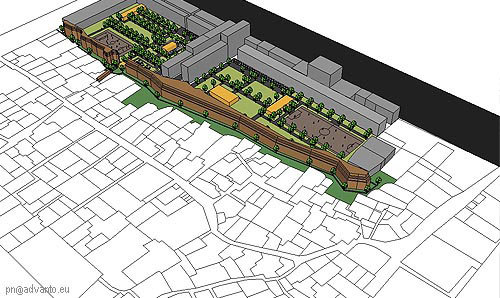
Combine super-fast massing studies with seamless Google Earth interoperability, and you're off to the races. When it comes to visualizing projects at an urban scale, SketchUp really shines. Learn more about SketchUp in Urban PlanningI am sold. I have downloaded the software and am gliding along the shallow learning curve towards playing with shadows and shapes in the Google universe.